UC Davis Watershed Scientists Support Social Justice in Ecuador
The small-scale farmers of the Dulcepamba watershed, located on the southwestern slopes of the Andes in central Ecuador, have provided fresh produce to local and domestic markets for generations. But these farmers were threatened first by allocation of water rights to Hidrotambo, the operator of a new hydroelectric facility in the basin, and next by fatal flooding that struck during hydroelectric construction.
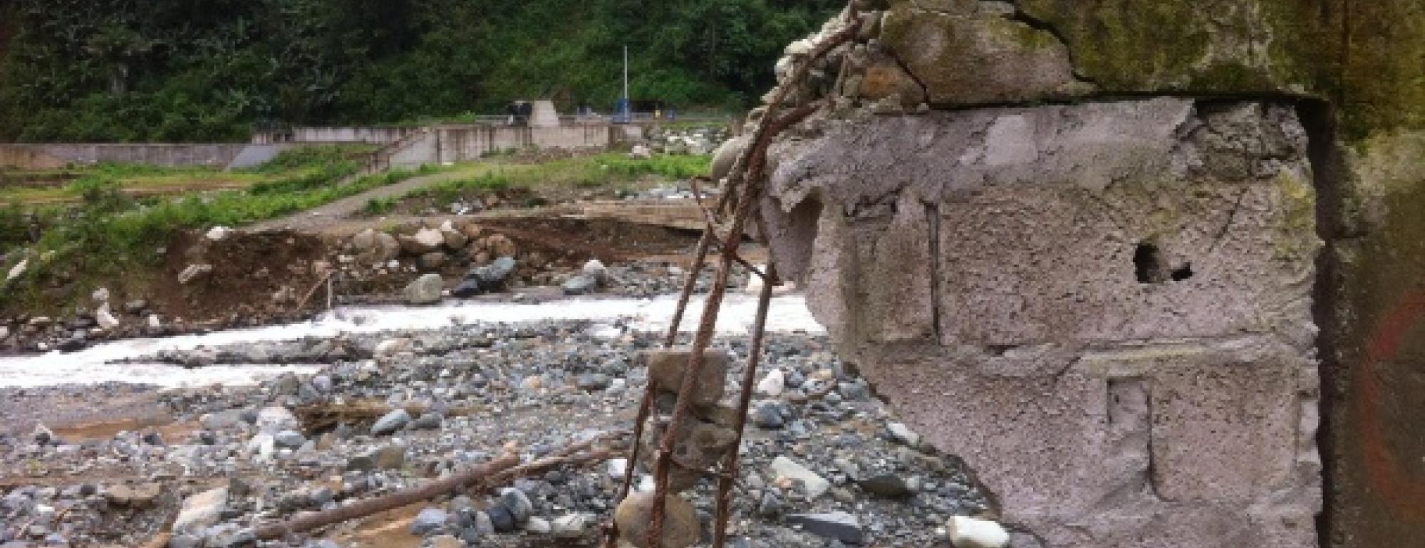
Residents of the Dulcepamba watershed have resisted the hydroelectric project since it first received building permits in 2004, but with little success. Local farmers and other residents argued that the Hidrotambo water rights concession threatened the rights of the 72 small communities upstream of the hydroelectric facility. Against that background, a flood in March 2015 destroyed cropland, eight houses, and killed two women and a child in the village of San Pablo de Amalí.
A coalition of Dulcepamba residents and their supporters contacted researchers from the Center for Watershed Sciences (CWS) at the University of California, Davis and asked them to complete a forensic analysis of the March 2015 flood and model the hydrology of the watershed. The UC Davis researchers developed (1) a hydrologic model of Dulcepamba basin; and (2) a hydraulic model to assess hydraulic and geomorphic processes associated with the March 2015 flood.
The results produced by the hydrologic and hydraulic modeling completed here indicate that the March 2015 flood event on the Dulcepamba River would not have caused the damage that ultimately occurred in San
Pablo de Amalí but for other human activities at the site, in particular construction within the channel, diversion of flow, and obstruction by debris. The flow generated in the March 2015 flood was smaller than previous historical storms that did not cause the severe damage seen in 2015.
In addition, UC Davis hydrologic modeling of the Dulcepamba watershed showed that, when Hidrotambo’s use right was added to required environmental minimum flows, the total exceeded average daily flows nearly 70% of the time. In other words, the hydroelectric water allocation exceeded the total water available in the basin through most of the summer dry season, leaving nothing left for local farmers or residents.

