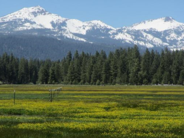
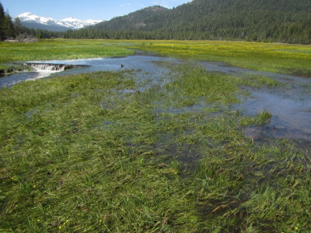
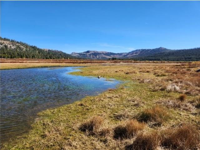
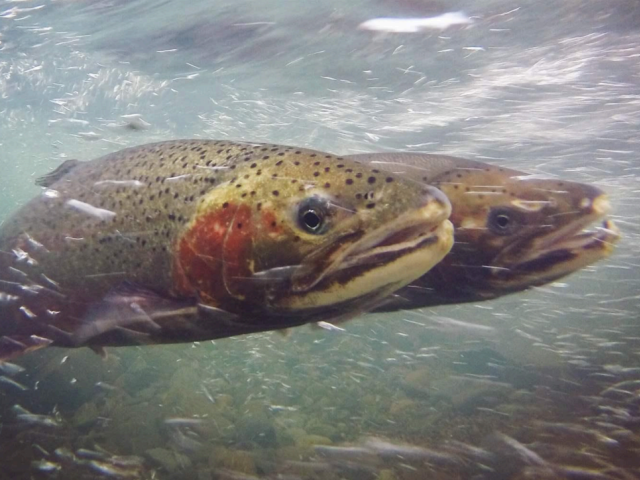
Research Programs

California Water

Project
Adult Green Sturgeon Modeling green sturgeon movement and population change in Central California
river Resiliency of California fishes
A mountain lake in the Caribou Wilderness, Sierra Nevada, California. Photo Credit: Christine Parisek 2020. Food webs of 10 lakes before and after a mega-wildfire The explosion and intensification of climate-driven mega-wildfires over recent years highlights a pressing need to better understand these impacts at all scales. Yet despite increasing wildfire disturbance, there lacks understanding of the extent to which fire may alter trophic structure in lakes, or the degree to which fire-effects are mediated by ecosystem architecture. What little is known derives primarily from boreal environments, and there have been no pre- versus post-fire food web comparisons to date.

California Water Policy

Project
Aerial view of Sacramento River California Environmental Flows Framework The California Environmental Flows Framework (CEFF) provides an approach for determining ecological flow criteria and guidance for developing environmental flow recommendations that can accommodate a variety of stream types and biological communities, while supporting regulatory and management agency programs aimed at protecting beneficial uses for aquatic life. CEFF applies a Functional Flows approach and provides ecological flow criteria based on the natural variability of ecologically-relevant functional flow metrics. It provides a process for considering physical and biological constraints within a stream system and provides guidance on developing environmental flow recommendations that balance ecological and water management objectives.

Central Valley Floodplains

Project
40-day salmon growth in flooded rice field Nigiri Project: Growing rice and salmon on a floodway The Center for Watershed Sciences is investigating harvested rice fields as potential salmon nurseries that could help boost struggling Central Valley populations. Experimental releases of young hatchery salmon on the Yolo Bypass near Sacramento indicate that parts of the 57,000-acre floodway could make productive rearing habitat at relatively little cost to farmers.

Climate Change

Project
heatwave frequency map; edited Spatiotemporal patterns of aquatic heatwaves in western US rivers
A mountain lake in the Caribou Wilderness, Sierra Nevada, California. Photo Credit: Christine Parisek 2020. Food webs of 10 lakes before and after a mega-wildfire The explosion and intensification of climate-driven mega-wildfires over recent years highlights a pressing need to better understand these impacts at all scales. Yet despite increasing wildfire disturbance, there lacks understanding of the extent to which fire may alter trophic structure in lakes, or the degree to which fire-effects are mediated by ecosystem architecture. What little is known derives primarily from boreal environments, and there have been no pre- versus post-fire food web comparisons to date.

Delta Solutions

Project
Delta levee map Delta Levee Vulnerability Study This project developed an index of the vulnerability of levees in the Sacramento-San Joaquin Delta.
Delta Smelt Ecology of Delta Smelt This project is an urgent effort, mounted in conjunction with federal and state agencies, to provide basic research on the delta smelt population. An interdisciplinary team is quantifying mortality due to changes in food webs processes and exposure to pollutants for field-caught delta smelt to compare with estimates of their losses to the federal and state water export facilities in an array of population models.
Suisun Marsh cover Suisun Marsh Suisun Marsh is the largest estuarine tidal marsh on the West Coast and a critical part of San Francisco Estuary. Peter Moyle has led a monthly sampling program for fish and invertebrates for more than three decades, using trawls and seines. This program is one of the standard monitoring programs in the estuary used for making decisions that affect water management for California. The research focuses on trends in fish and invertebrate populations that are highly affected by natural and unnatural regulation of tidal and freshwater inflow and on fish and macroinvertebrate assemblages subject to frequent additions of alien species.
blank placeholder image Quantifying relative risk of collapse for Delta fish populations

Estuarine Ecology and Conservation

Project
North Delta Arc of Native Fishes The Arc project is designed to study how land forms in the Sacramento-San Joaquin Delta interact with freshwater inputs and tides to create habitat favored by native fishes. The investigation focuses on regions in the North Delta where fish surveys have shown relatively high populations of native fishes - regions including Suisun Marsh, the flooded Sherman Island and the Cache and Lindsey sloughs. The areas together form an arc, inspiring the project name "North Delta Arc of Native Fishes."
SFE Data Visualizer This project involves the development of a web application to visualize Dylan Stompe’s San Francisco Estuary integrated data set collected from fourteen surveys from multiple agencies. The SFE data visualizer can quickly plot data from any of the surveys and be used as an analytical tool for future research endeavors in the SFE.
Sacramento Perch Sacramento Perch Project The Sacramento perch (SP) is a native sunfish that once was abundant, but is now extirpated from almost all of its former habitats throughout the Sacramento-San Joaquin watershed.

Modeling and Informatics

Project
Sustainability-aware Management of Interdependent Power and Water Systems As the grand vision of this project is to promote sustainability across interdependent systems, as well as to achieve economic efficiency and to maintain reliability, through decentralized yet coordinated management of individual systems, we are to establish a complete modeling, analytical, and computational framework.

Sierra Nevada Strategies

Project
mt meadow Sierra Nevada Meadows Clearinghouse Mountain meadow wetlands provide disproportionally important ecological services as compared to the area they cover in the Sierra Nevada by providing wetland-associated biodiversity, attenuating floods, and by contributing to downstream water quality and flow. However, degradation and loss of hydrologic function are widespread in Sierran meadows due to past and continuing anthropogenic effects including grazing management, diversions, roads and culverts, as well as non-native species.
mountains Beavers, Meadows and Climate Change Mountain meadows inhabited by beavers have an important role in mitigating climate change. As carbon sinks, they store remarkably large amounts of greenhouse gases for the long term. However, degradation from livestock grazing and conversion to dry grasslands has greatly diminished the carbon-storing capacity and biodiversity of meadows in the Cascade Range and Sierra Nevada of California. Restoration of these biodiversity hotspots is key for creating climate refugia for sensitive species and increasing carbon sequestration.
A mountain lake in the Caribou Wilderness, Sierra Nevada, California. Photo Credit: Christine Parisek 2020. Food webs of 10 lakes before and after a mega-wildfire The explosion and intensification of climate-driven mega-wildfires over recent years highlights a pressing need to better understand these impacts at all scales. Yet despite increasing wildfire disturbance, there lacks understanding of the extent to which fire may alter trophic structure in lakes, or the degree to which fire-effects are mediated by ecosystem architecture. What little is known derives primarily from boreal environments, and there have been no pre- versus post-fire food web comparisons to date.

Spring Rivers and Streams

Project
Big Springs Creek Big Springs Creek In 2008, Center researchers seized a rare opportunity to quantify the results of conservation action on a large scale. The Nature Conservancy bought ranchland along Big Springs Creek, a Shasta River tributary that had been degraded by cattle grazing. The conservancy continued ranching but fenced out cattle along the 2.2 mile stream.
Little Shasta River Little Shasta River The Little Shasta River project is the third phase of CWS’ research in the Shasta basin – moving past baseline assessment and demonstration projects to private landowner collaboration. The Center for Watershed Sciences is partnering with private landowners, California Trout, and The Nature Conservancy to identify how heritage rangeland can be managed to ensure the long-term viability of both rangeland and recover coho salmon populations. Our research shows how science can inform and influence the management of rangeland and environmental resources.
Fall River Migration of Fall River rainbow trout The purpose of this study is to better understand the spawning migration and timing of rainbow trout in the spring-fed Fall River of Northern California.
Scott River Scott River The Scott River includes California's largest wild population of coho salmon (Onchorhynchus kisutch); a species listed as threatened under both state and federal Endangered Species Acts. The Center for Watershed Sciences is partnered with California Trout and Western Rivers Conservancy to improve conservation strategies within the Scott River and its coldwater tributaries while maintaining agricultural land-use activities for private property-owners in the region. Monitoring throughout this watershed is focused on determining whether current conditions meet desirable streamflow and water temperature criteria for the success of the species and whether ongoing conservation activities have any positive effect on these conditions.
Chinook salmon in Big Springs Creek, Siskiyou County. Carson Jeffres Spring-Fed vs. Snowmelt Rivers: Ecosystem Productivity This project measures and compares ecological productivity in two types of river systems in the Upper Sacramento River watershed. The project's team of ecologists, geologist and biologists is comparing the food-web dynamics of three spring-fed systems - Hat Creek, Fall River and tributaries of the upper Sacramento River - with those of rivers that receive mainly snowmelt and stormwater runoff in the same watershed.

Water Economics and Management Group

Project
Advanced Hard Biofuels Advanced Hardwood Biofuels Northwest (AHB) is a consortium of Pacific Northwest university and industry partners led by the University of Washington. AHB is carrying out research and development to support a system that will use renewable feedstocks like hybrid poplar to produce a suite of products that are currently derived from petroleum. AHB will focus on the development of a renewable bio-based chemical industry. Developing poplar-based biofuels including jet fuel, diesel, and gasoline that can supplement existing fossil fuels is the long term goal. A bio-based chemical and fuel industry will revitalize rural communities through job creation and economic development, decrease the nation’s dependence on foreign oil, and move the nation toward a clean energy and product economy based on renewable materials with a low carbon footprint.

Watershed Restoration

Project
Little Shasta River Little Shasta River The Little Shasta River project is the third phase of CWS’ research in the Shasta basin – moving past baseline assessment and demonstration projects to private landowner collaboration. The Center for Watershed Sciences is partnering with private landowners, California Trout, and The Nature Conservancy to identify how heritage rangeland can be managed to ensure the long-term viability of both rangeland and recover coho salmon populations. Our research shows how science can inform and influence the management of rangeland and environmental resources.
Scott River Scott River The Scott River includes California's largest wild population of coho salmon (Onchorhynchus kisutch); a species listed as threatened under both state and federal Endangered Species Acts. The Center for Watershed Sciences is partnered with California Trout and Western Rivers Conservancy to improve conservation strategies within the Scott River and its coldwater tributaries while maintaining agricultural land-use activities for private property-owners in the region. Monitoring throughout this watershed is focused on determining whether current conditions meet desirable streamflow and water temperature criteria for the success of the species and whether ongoing conservation activities have any positive effect on these conditions.
Patterns of native fish biodiversity Conservation of inland fish biodiversity Knowledge of species' spatial distributions is crucial to the identification and prioritization of watersheds in need of restoration. Coupled with species' status, the presence and or absence of species can indicate biologically diverse vs. depauperate areas.
Bear Creek Evaluation of Bear Creek Meadow Restoration Project This project evaluated the restoration of Bear Creek, immediately upstream of the Fall River, in Modoc County, California. Approximately two miles of degraded meadow creek was restored five years ago by a private landowner.