Collaborators
Josué Medellín-Azuara (Project Contact)
Megan Nguyen
Lawrence Li
Nick Santos
Project Description
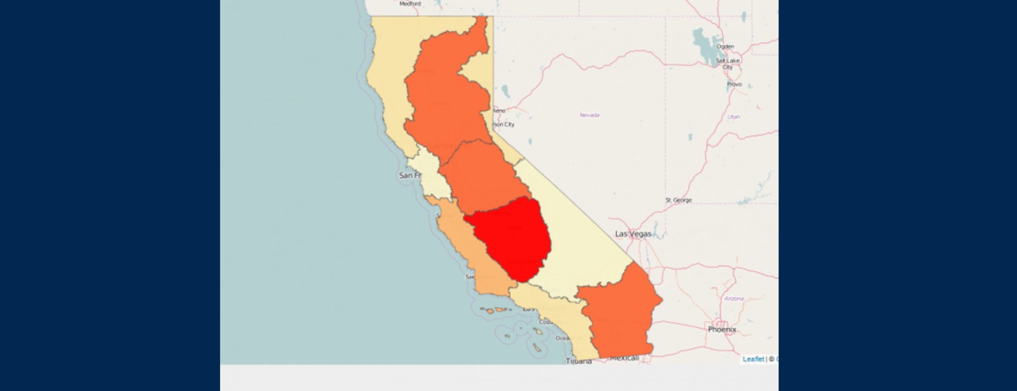
California Crop Economics Map
This website provides preliminary information on irrigated land areas, water use and crop value over various hydrologic boundaries. Information from the California Department of Water Resources (http://www.water.ca.gov/landwateruse/anlwuest.cfm) on land and water use, and economic information from the SWAP model (swap.ucdavis.edu) for 20 crop groups are employed. You can select the hydrologic boundaries, and the parameter to display by checking the appropriate boxes. The sliding rule allows you to select the year of the information from 1998 to 2010. This will be updated as more data becomes available. Please contact Josue Medellin for any questions or comments. Last update: 1/21/2016.
Program
Project Status
Completed

